Data Collection
Aerial Associates (along with our sister company, AeroData) is proud to partner with the scientific community to provide a range of data capture platforms. From economical solutions via drone, to fully capable multi-engine manned aircraft, our team can equip a plethora of sensor and data-capture equipment with flexible installation and flight schedules.
Data Technology
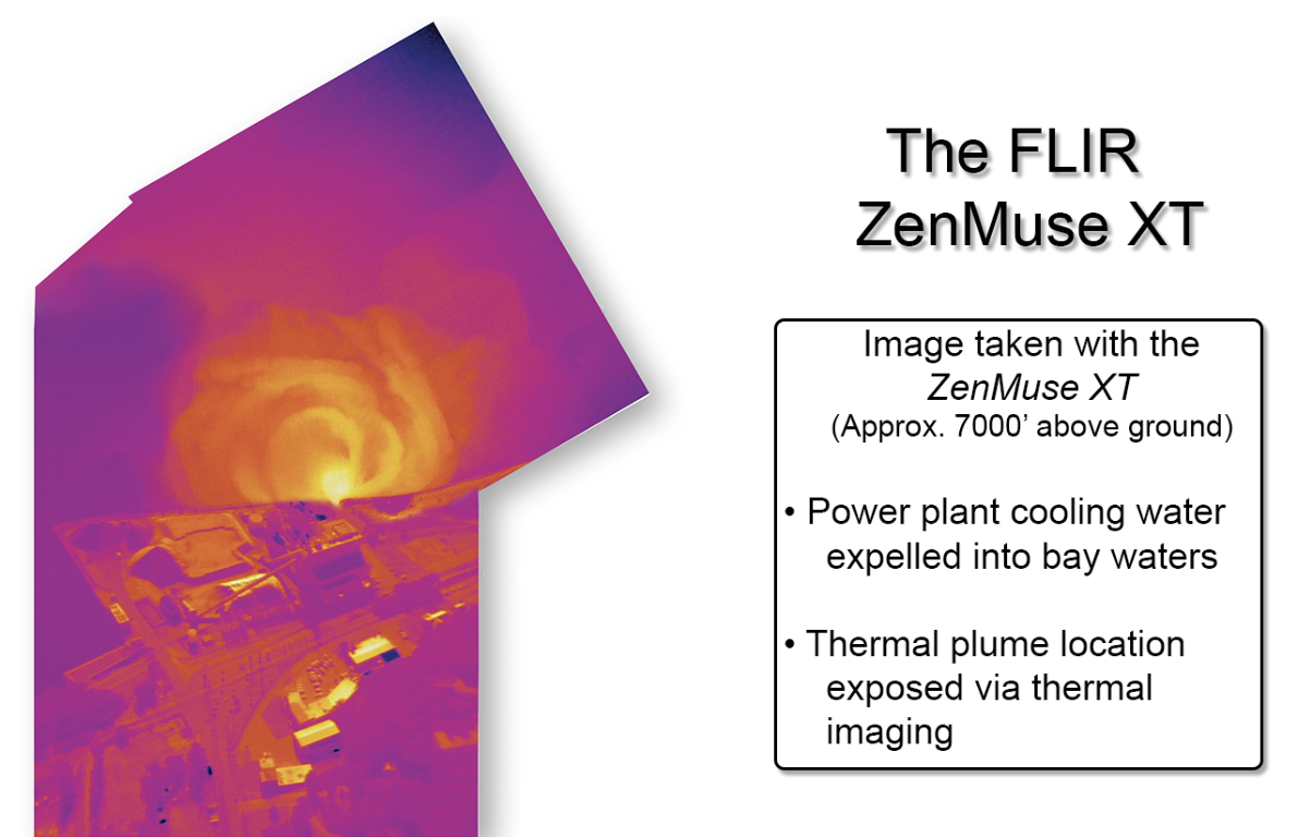
Thermal imaging and mapping
Orthophoto
Point clouds
Ultra HD oblique photos
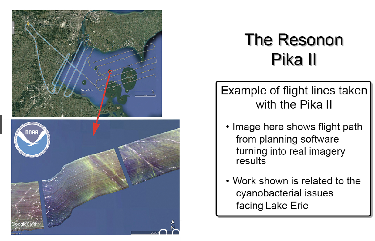
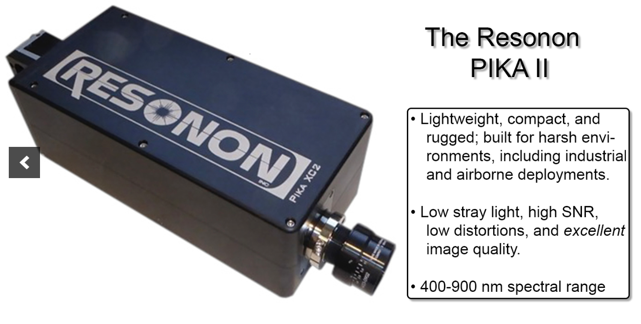
Hyperspectral scans/collections
Large format film survey
Large format digital survey
LIDAR
Data Technology
Scroll to see the different technology used during our process.